Ocracoke: Island getaway since the time of pirates
Ocracoke is still a working fishing village, and has the feeling of a community, not a resort.

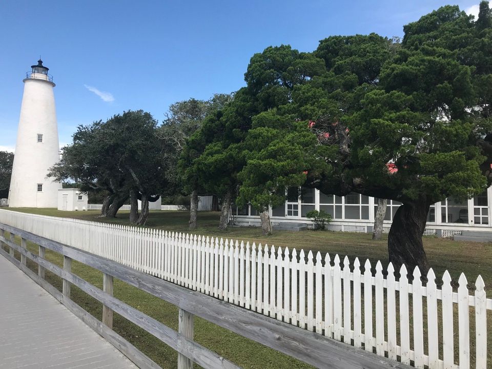
The Ocracoke Lighthouse.
Ocracoke Island is part of the Cape Hatteras National Seashore, which is a string of barrier islands that protect the bays and waterways of eastern North Carolina. The entire island, with the exception of the village, is owned by the U.S. National Park Service, and is a protected wildlife area. The island is a narrow 16 miles long, with the eastern side being a long sandy beach facing the Atlantic and the western side facing Pamlico Sound. The island can be reached by ferries, private boat, and private plane.
The first step in getting to Ocracoke is the ferry from Cedar Island or Swan Quarter. Both trips are about two-and-a-half-hours long, and a little boring. No disco. No restaurant. No cabins. They're more like a floating tollbooth. But it is easy to meet people, since there's not much to look at besides an occasional seagull, and you have something in common with everyone on board: You're all going to Ocracoke.
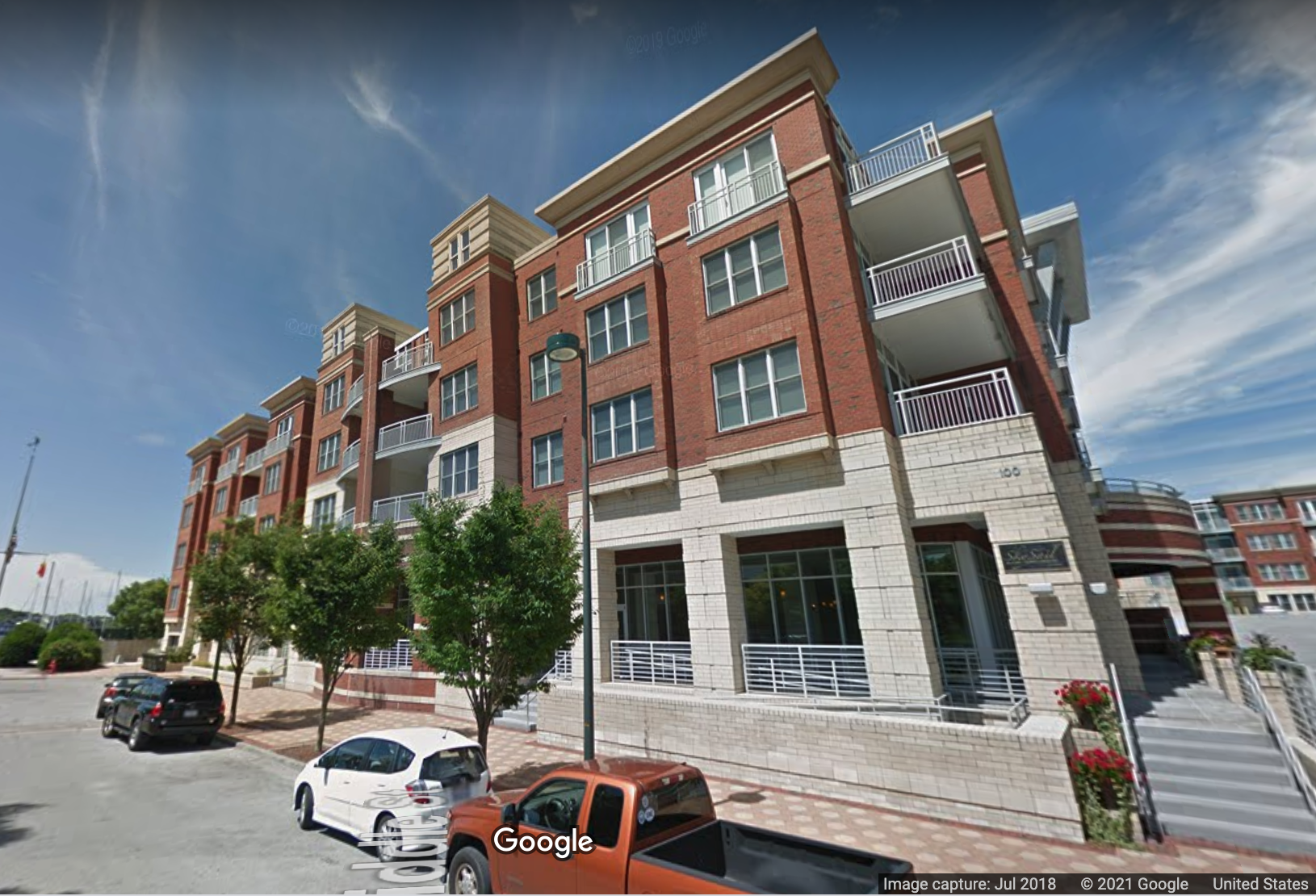
You arrive in the village of Ocracoke, which surrounds a beautiful harbor called Silver Lake. When you get off the ferry, it's a little crazy, with cars, trucks, bikes, motorcycles and pedestrians all massed together. But the road clears up pretty quickly.
I love ferry boats and for me I wonder how can you be bored in a place with a dozen ferries a day? But if ferries don't turn you on, there are fishing trips for tuna, mahi-mahi and a variety of other fish on full- and half-day charters. You can even rent boats with outboard engines.
Ocracoke gets its share of visitors in the summer, but if you come in the beginning of October, the weather is still warm enough to swim and even eat outdoors. Usually. Ocracoke is still a working fishing village, and has the feeling of a community, not a resort.
Accommodations range from high-end inns to campgrounds, fancy dining to quaint island diners, and a lighthouse.
According to the National Park Service: Ocracoke Inlet was first placed on the map when English explorers wrecked a sailing ship there in 1585. Two centuries later, this was one of the busiest inlets on the East Coast. Ocracoke Inlet was the only reasonably navigable waterway for ships accessing inland ports such as Elizabeth City, New Bern, and Edenton. Ocracoke Village, then known as Pilot Town, developed as a result of the inlet’s use. Pilots, hired to steer ships safely through the shifting channels to mainland ports, settled the village in the 1730s.
The U.S. Lighthouse Service recognized that a lighthouse was needed to assist mariners through Ocracoke Inlet. In 1794, construction began on Shell Castle Island, a 25 acre, shell-covered island located between Ocracoke and Portsmouth Island to the south. This site was adjacent to the deepest inlet channel between shallow Pamlico Sound and the ocean. A wooden, pyramid-shaped tower was completed four years later. In addition to the light, a small lightkeeper’s house was built along with several cargo wharves, gristmills, houses, and other facilities.
Unfortunately, the lighthouse, a great blessing to mariners, was obsolete in less than 20 years due to the migration of the main channel. By 1818, the channel had shifted nearly a mile away. That same year, both the lighthouse and keeper’s house were destroyed by lightning.
In 1822, for a charge of $50, the federal government purchased two acres at the south end of Ocracoke Island as the site for a new lighthouse. Constructed by Massachusetts builder Noah Porter and finished in 1823, the tower still stands today. Total cost, including the one story, one bedroom keeper’s house, was $11,359, far below the $20,000 budgeted. More here.
This article is a stub looking for a journalist to sponsor it. For more information about sponsoring this page, click the button below.
Copyright © 2021 New Bern Post LLC, All Rights Reserved.


